How to Find Elevation on Google Maps

If you are planning a hike or sightseeing, you may want to find elevation on Google Maps either on your desktop or mobile device.
If you are planning your next hike, going sightseeing, or are curious about a location’s altitude, we’ll show you how to find elevation on Google Maps. The process is straightforward, and you can do it from the Google Maps app or a web browser on your computer.
Google Maps offers a lot more than just directions for getting from point A to B. The terrain option lets you see the elevation of a location, which is helpful in mountainous regions.
You can use the elevation feature to get a better understanding of the surrounding areas. However, it’s important to note that Google Maps doesn’t show elevation for all areas — just naturally occurring mountainous land.
So, if you need to find the elevation of a location using Google Maps, we’ll show you how to do it in this guide.
Find Elevation on Google Maps on Mobile
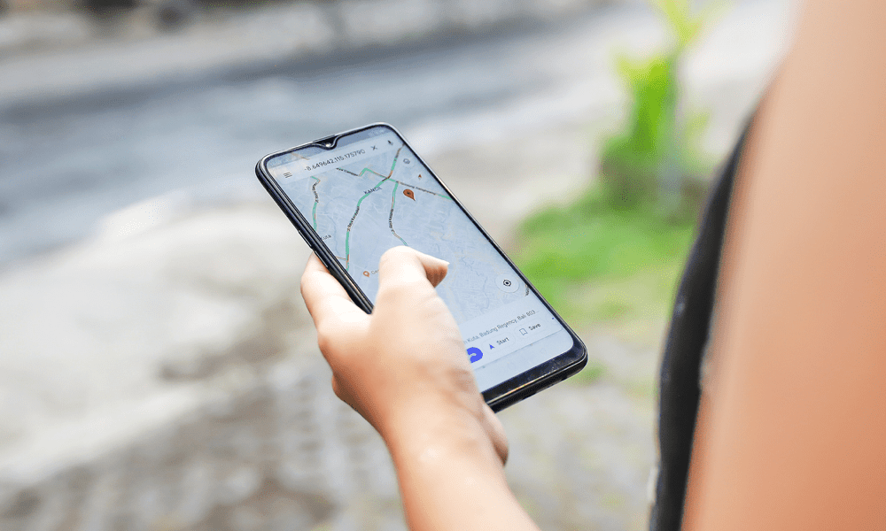
If you are on the go, you can use your phone or tablet to find elevation on Google Maps using the following steps.
- Launch the Google Maps app on your iPhone, iPad, or Android device.


- Type in the location you want to find the elevation.


- Tap the Layers button under the search field.


- Tap the Terrain option and tap the X button to close the Layers menu.


- When the map turns to terrain view, pinch and zoom in on the location, and you’ll find the location’s elevation and the elevation near it. Ensure you don’t zoom in too much, or the elevation numbers will disappear.


Find Elevation on Google Maps on the Desktop
You can also use your computer to find elevation via a web browser on your computer using the following steps.
- Launch a browser on your Mac, PC, Chromebook, or Linux computer.
- Head to maps.google.com.
- Type in the location you want to look up in the search box in the top left corner.


- Click the Layers button and select the Terrain option from the list of options.


- Zoom in on the screen and move around the map with your mouse to discover the elevation of specific locations on the map. Like with the mobile app, ensure you don’t zoom in too much, or the numbers will disappear.


Finding Elevation on Google Maps
You can find elevations on Google Maps for specific sites you want quickly. The main thing to remember is not to zoom in too much; otherwise, the elevation numbers will disappear from the map.
So, whether you are planning to go hiking or sightseeing or want to know the elevation of a place, it’s helpful to get the data you need from Google Maps.
Leave a Reply
Leave a Reply


